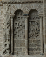
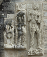
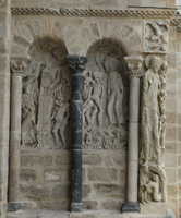
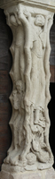
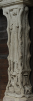
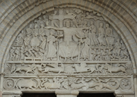
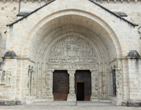
Beaulieu-sur-Dordogne, Saint-Pierre

Building Data for Beaulieu-sur-Dordogne, Saint-Pierre
- Type: Abbey
- Affiliation: Cistercian
- Region: Limousin
- Department: Corrèze
- Coords: 44.979, 1.8381
- Surveyed: 2009, 2013
Zooms for Beaulieu-sur-Dordogne, Saint-Pierre - created by Chris Henige during our many trips to northern France.
Virtual Tour

