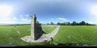
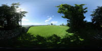
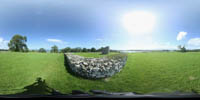
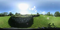
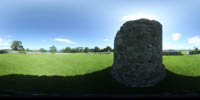
Nendrum, Monastic Settlement

Building Data for Nendrum, Monastic Settlement
- Type: Abbey
- Affiliation:
- Region: Ulster
- Department: Down
- Coords: 54.498, -5.647
- Surveyed: 2015
Panoramas - created by Chris Henige during our many trips to northern France.
Virtual Tour

