Til-Châtel, Saint-Florent

Building Data for Til-Châtel, Saint-Florent
- Type: Parish
- Affiliation:
- Region: Bourgogne
- Department: Côte-d'Or
- Coords: 47.518, 5.1719
- Surveyed: 1980-83, 2005, 2012, 2015
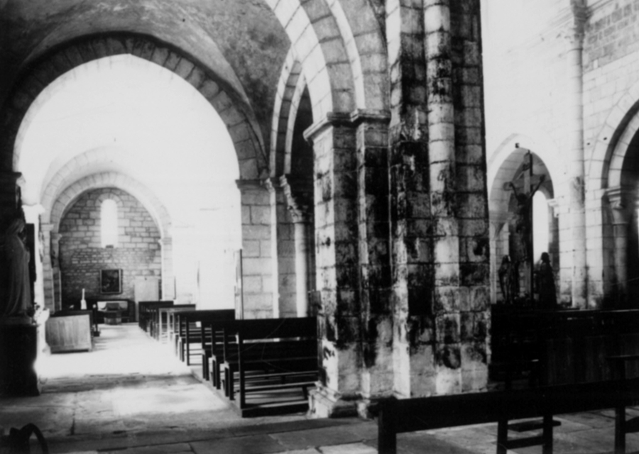
Photos [taken mainly 1969-1983] for Til-Châtel Saint-Florent


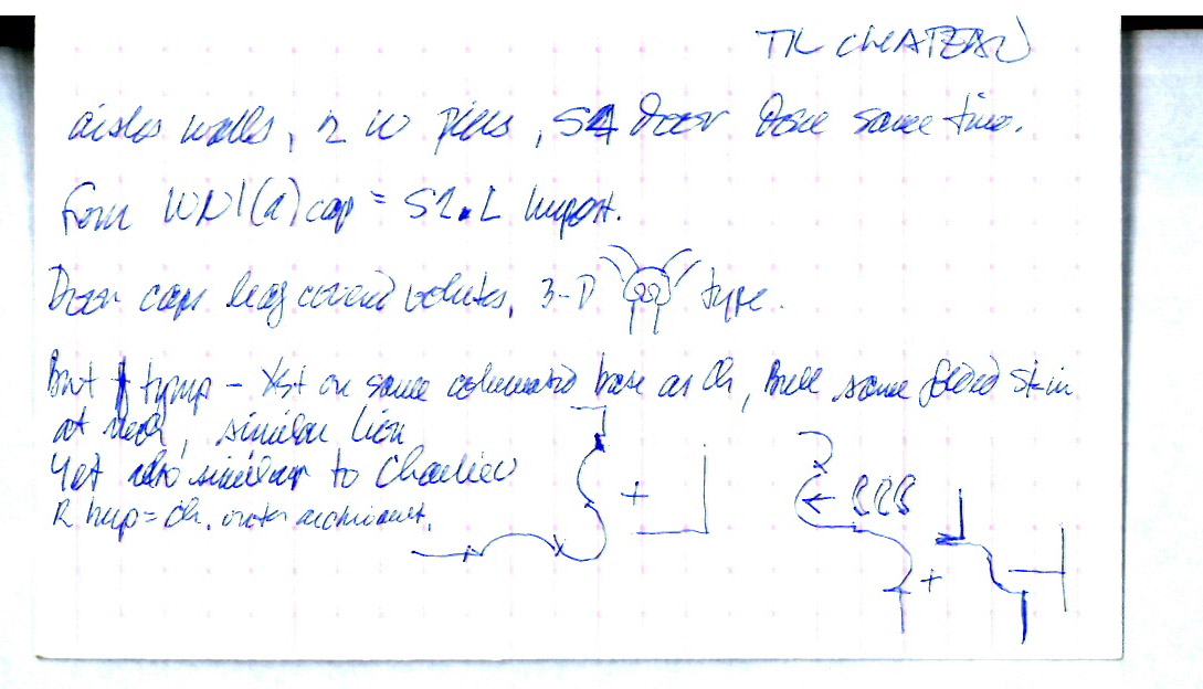
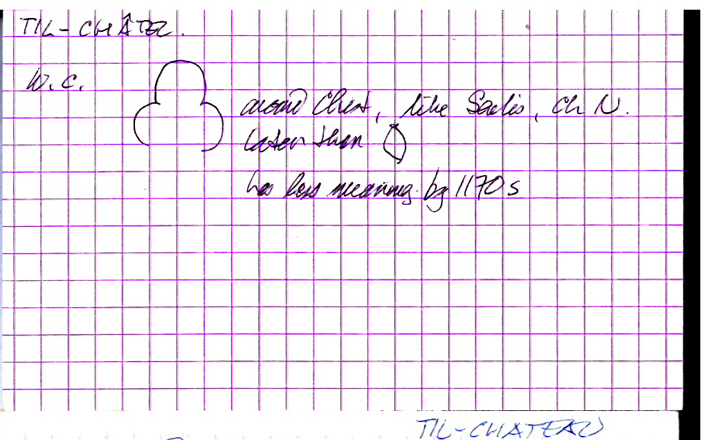
Notecards for Til-Châtel Saint-Florent


There are no Drawing results for this building.