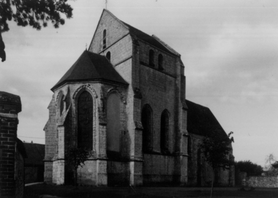
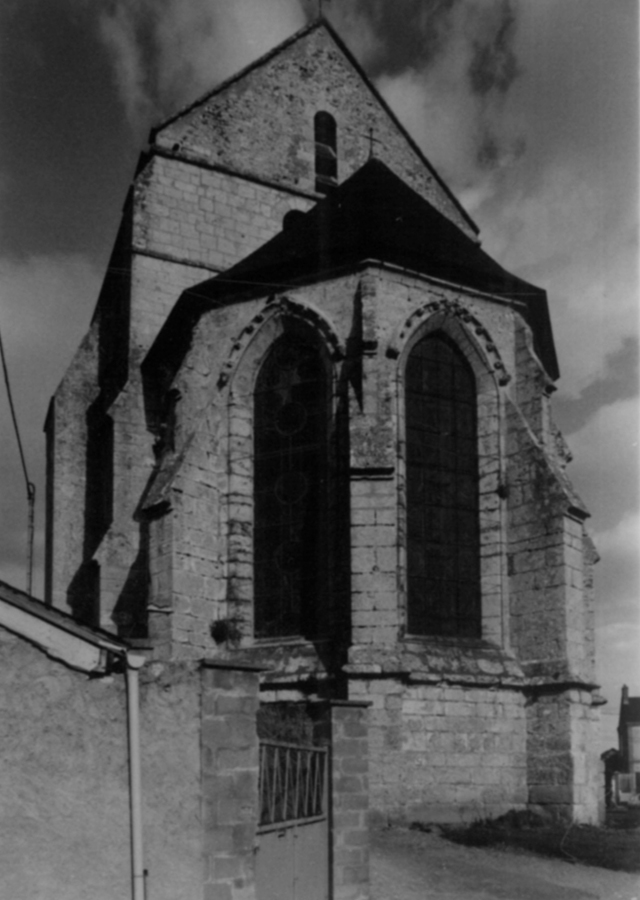
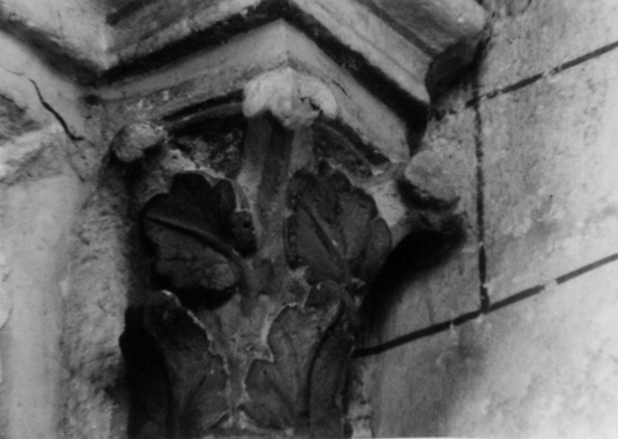
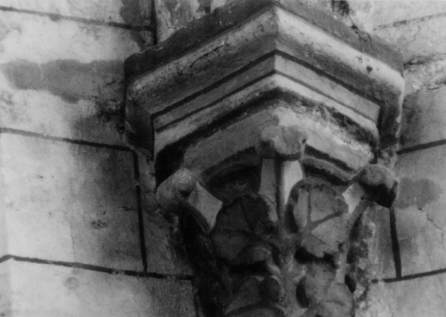
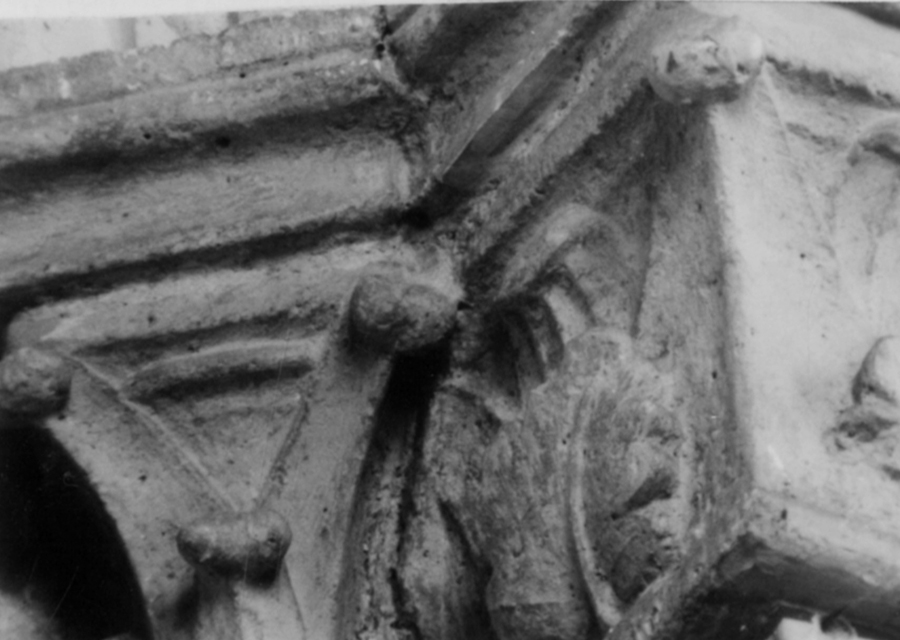
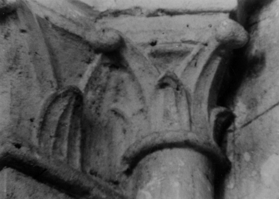
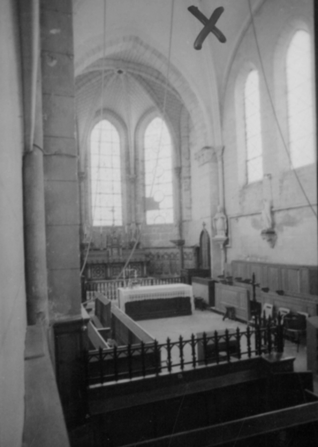
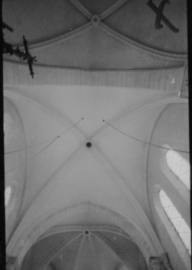
Santeuil, Saint-Georges

Building Data for Santeuil, Saint-Georges
- Type: Parish
- Affiliation:
- Region: Centre
- Department: Eure-et-Loir
- Coords: 48.387, 1.7342
- Surveyed: 1972-74
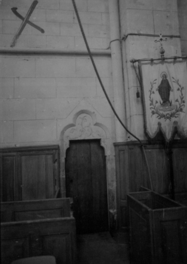
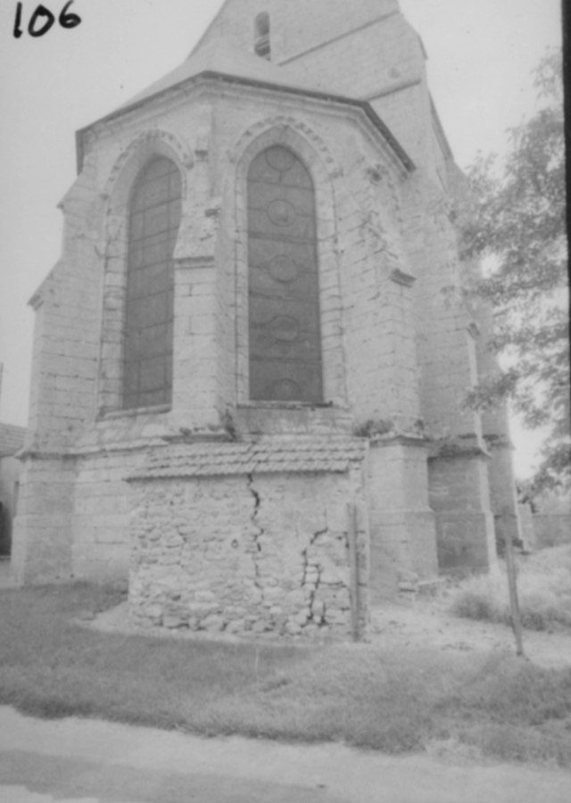
Photos [taken mainly 1969-1983] for Santeuil Saint-Georges


There are no Notecard results for this building.
There are no Drawing results for this building.