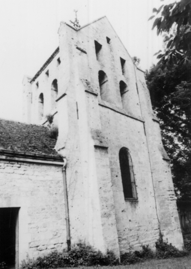
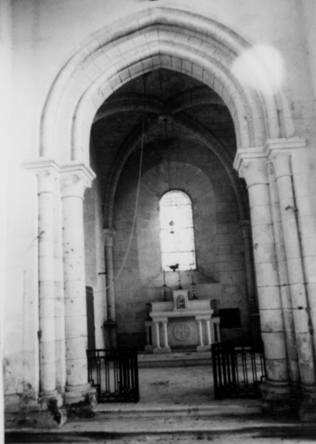
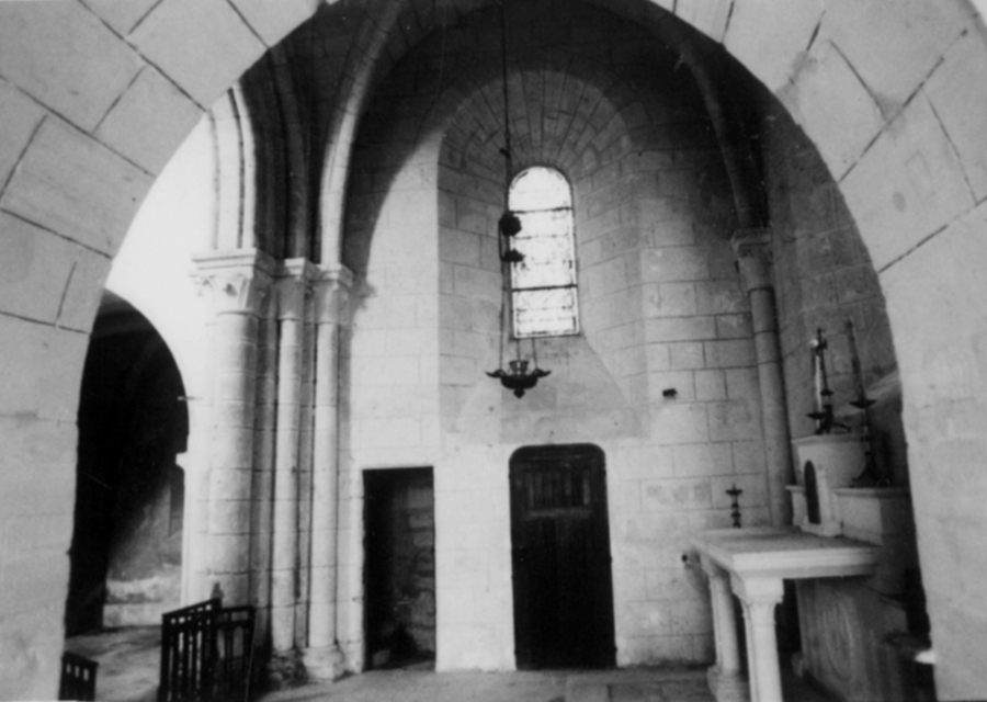
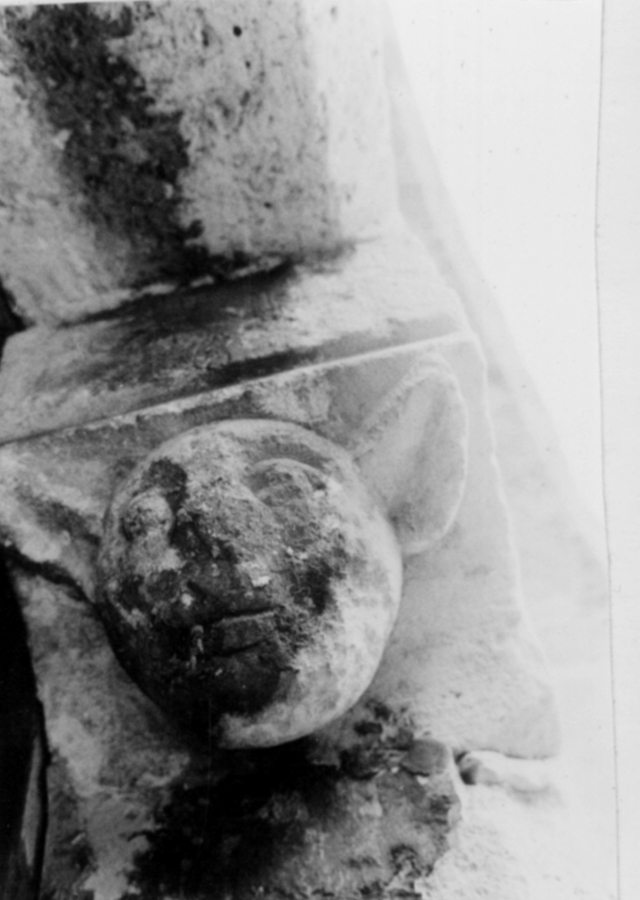
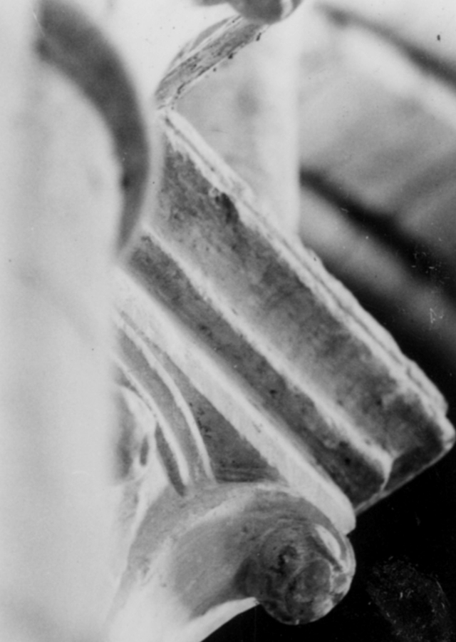
Ployart-et-Vaurseine, Saint-Pierre-ès-Liens

Building Data for Ployart-et-Vaurseine, Saint-Pierre-ès-Liens
- Type: Parish
- Affiliation:
- Region: Picardie
- Department: Aisne
- Coords: 49.488, 3.7444
- Surveyed: 1980-83
Photos [taken mainly 1969-1983] for Ployart-et-Vaurseine Saint-Pierre-ès-Liens


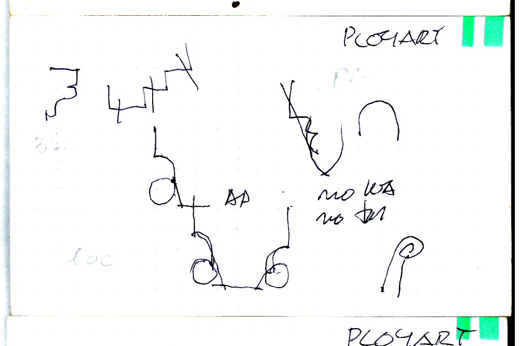
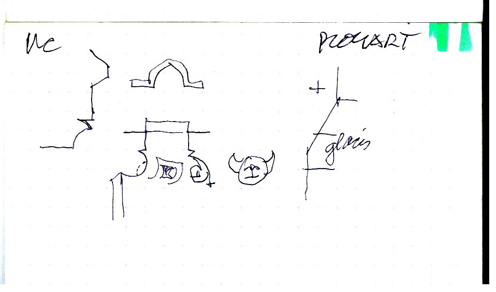
Notecards for Ployart-et-Vaurseine Saint-Pierre-ès-Liens


There are no Drawing results for this building.