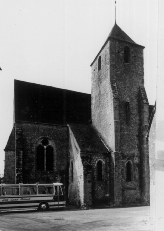
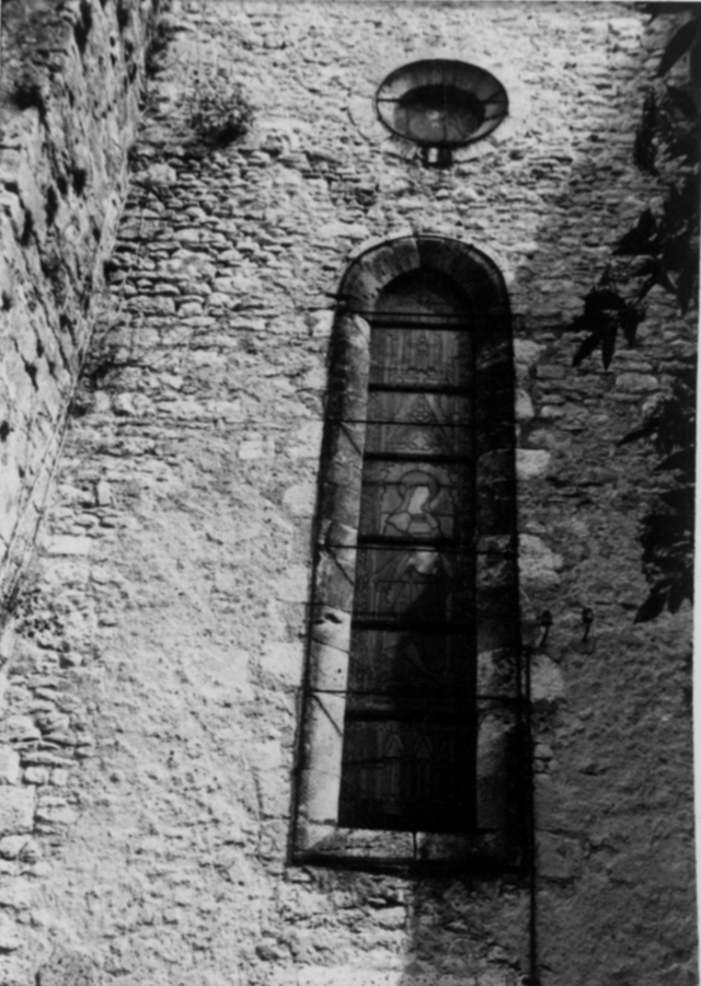
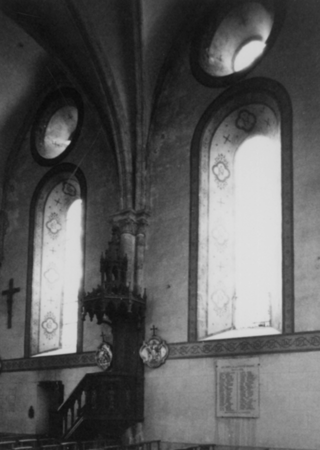
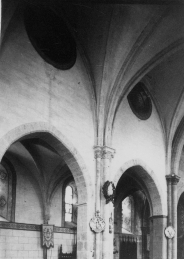
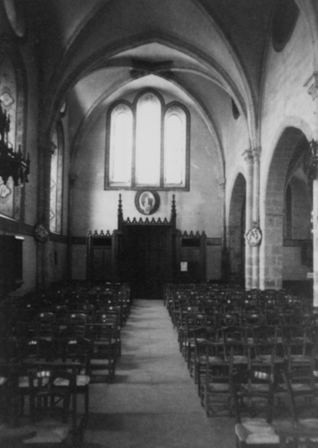
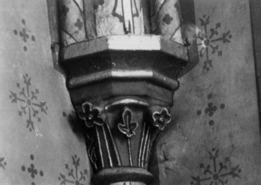
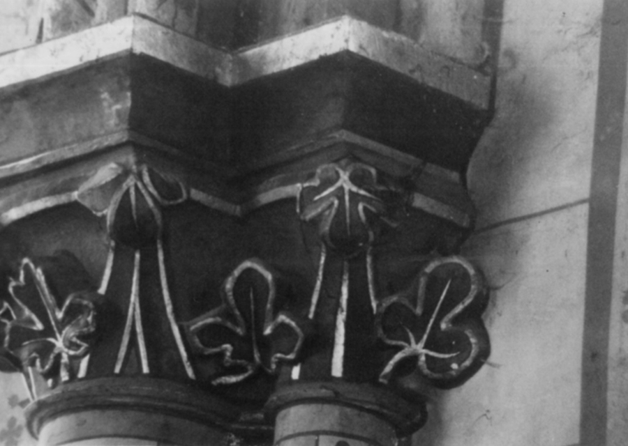
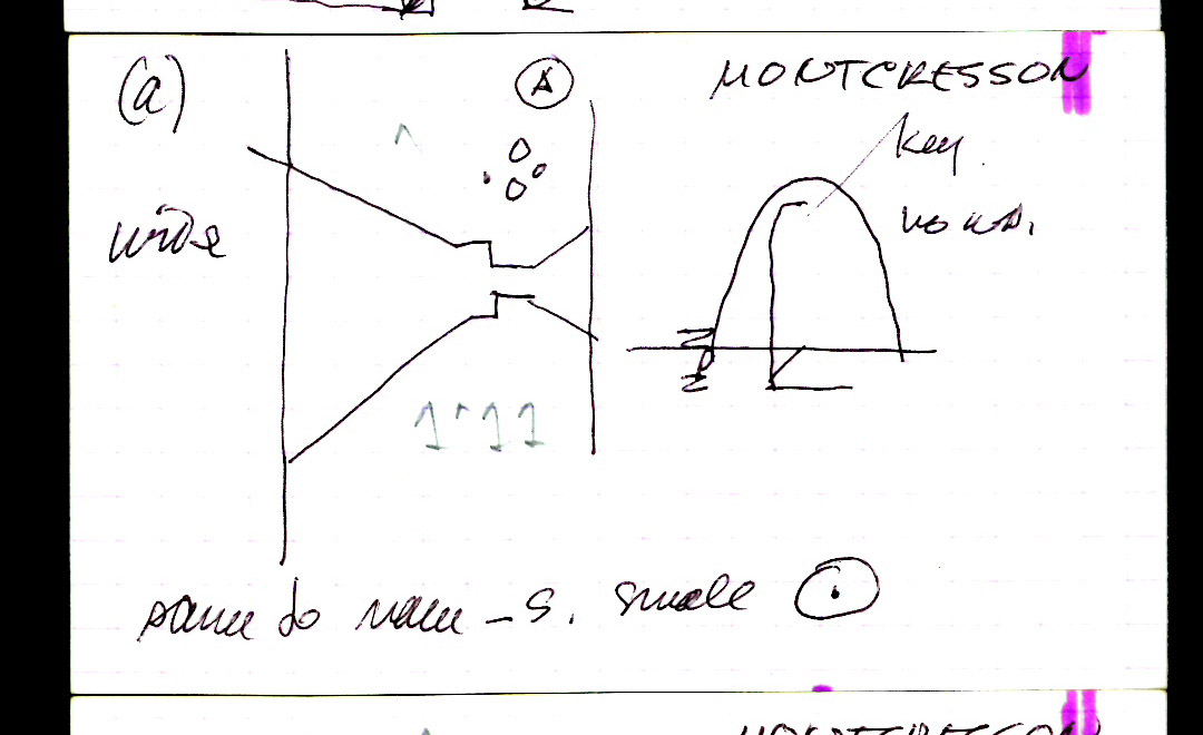
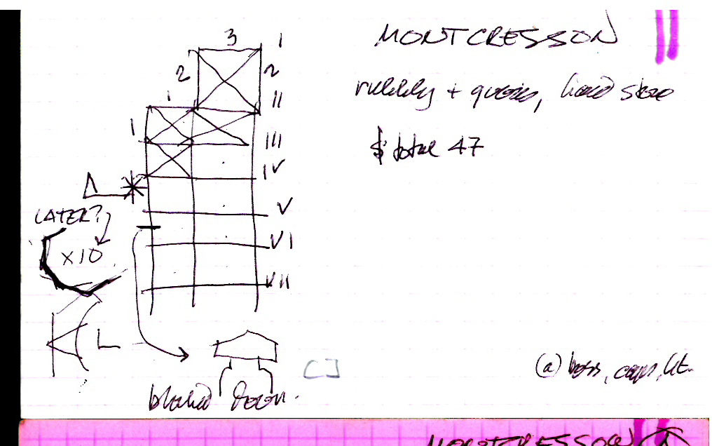
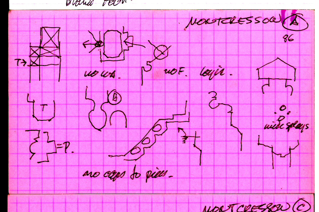
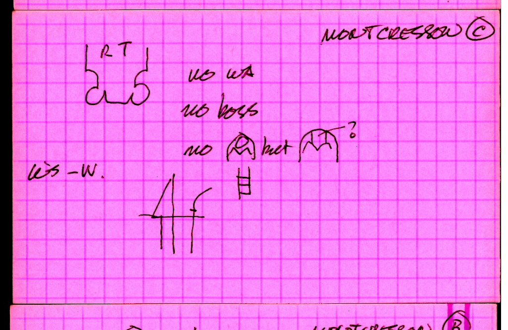
Montcresson, Saint-Léger

Building Data for Montcresson, Saint-Léger
- Type: Parish
- Affiliation:
- Region: Centre
- Department: Loiret
- Coords: 47.906, 2.8069
- Surveyed: 1980-83
Photos [taken mainly 1969-1983] for Montcresson Saint-Léger


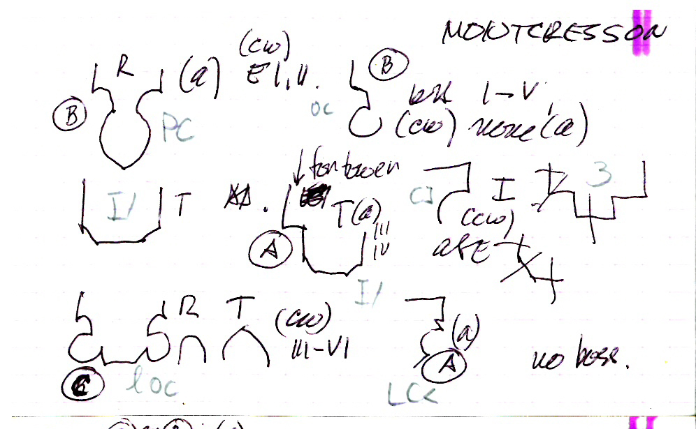
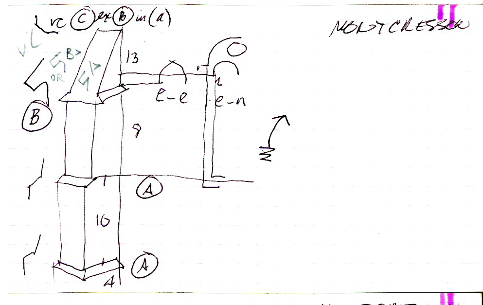
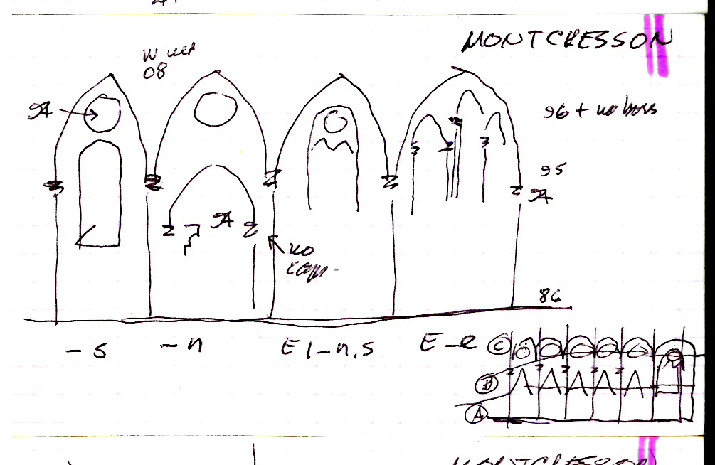
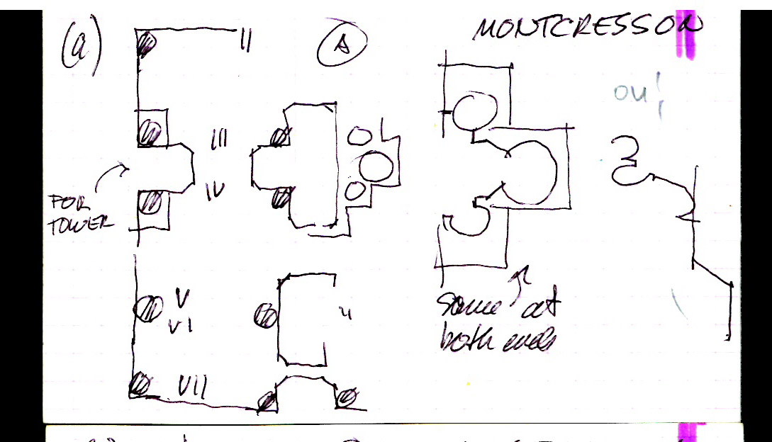
Notecards for Montcresson Saint-Léger


There are no Drawing results for this building.