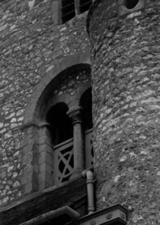
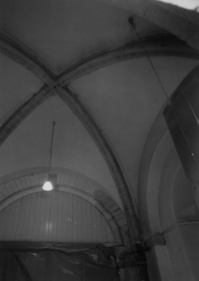
Goring-on-Thames, Saint Thomas of Canterbury

Building Data for Goring-on-Thames, Saint Thomas of Canterbury
- Type: Parish
- Affiliation:
- Region:
- Department: Oxfordshire
- Coords: 51.52, -1.140
- Surveyed: 1972-1983
Photos [taken mainly 1969-1983] for Goring-on-Thames Saint Thomas of Canterbury


Notecards for Goring-on-Thames Saint Thomas of Canterbury


There are no Drawing results for this building.