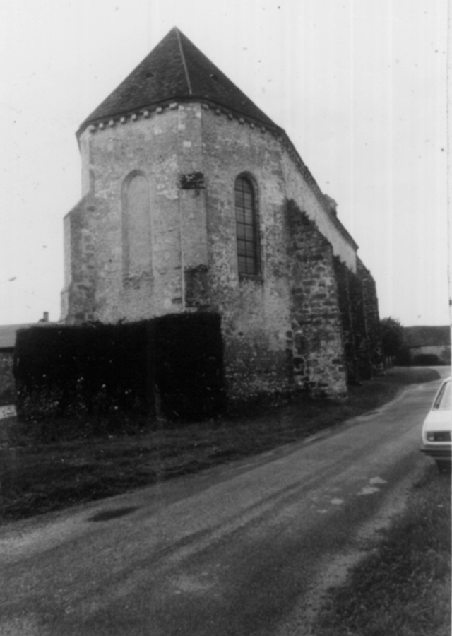
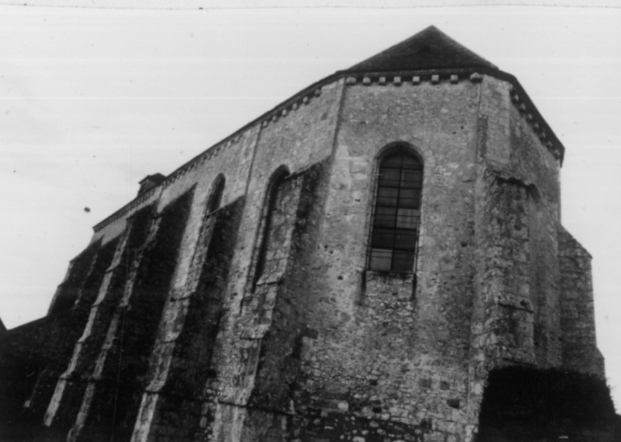
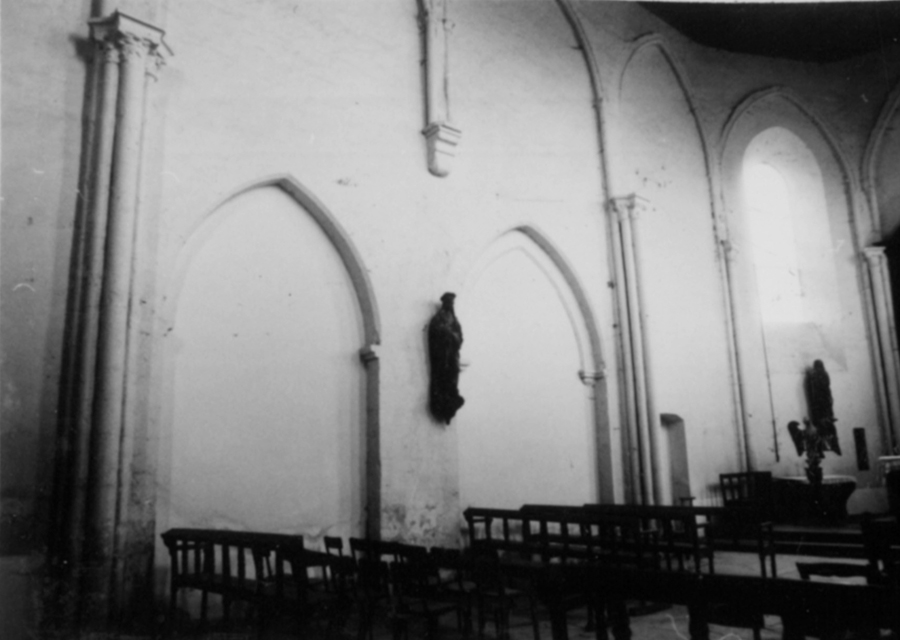
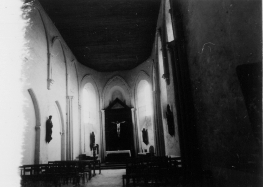
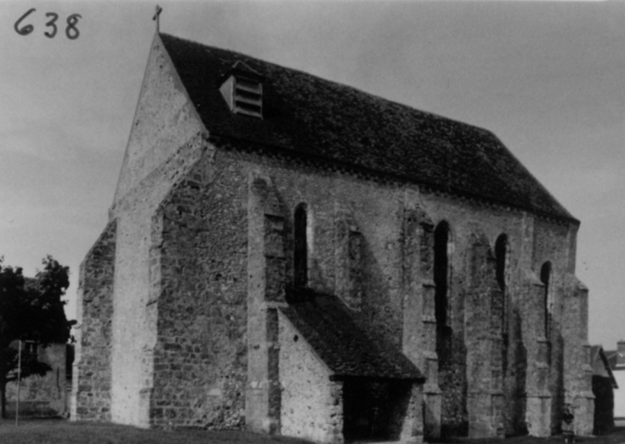
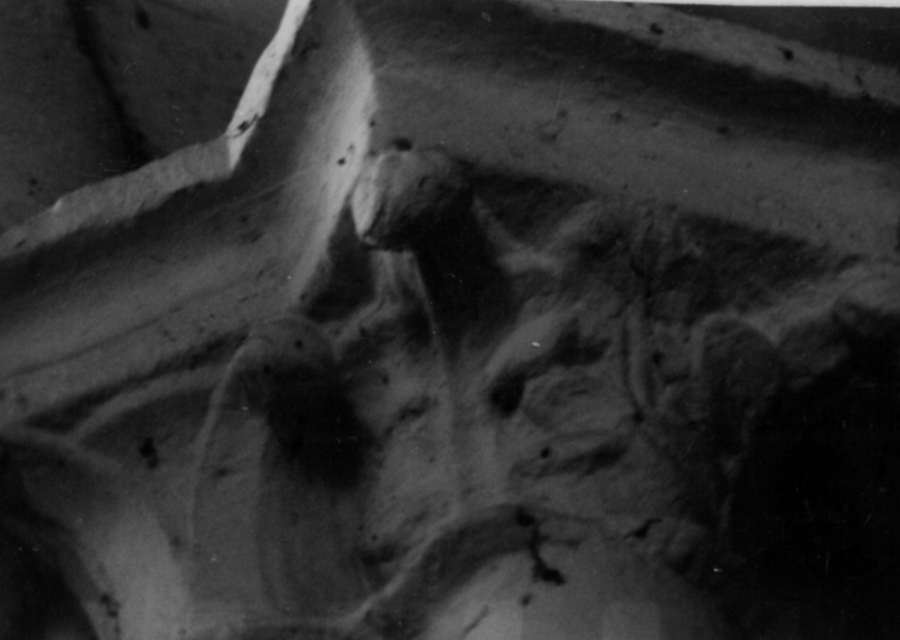
Cerneux, Saint-Brice

Building Data for Cerneux, Saint-Brice
- Type: Parish
- Affiliation:
- Region: Ile-de-France
- Department: Seine-et-Marne
- Coords: 48.693, 3.3440
- Surveyed: 1980-83
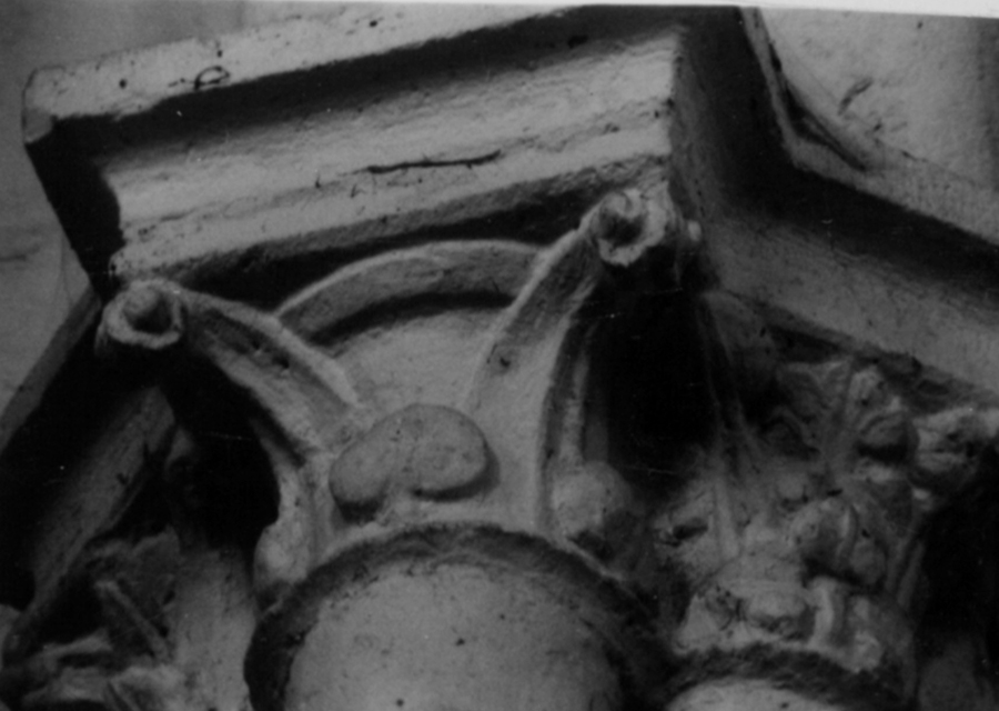
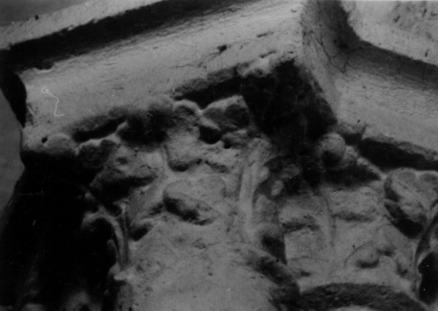
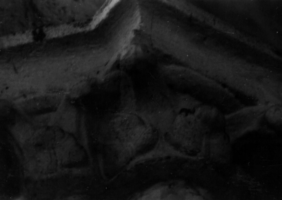
Photos [taken mainly 1969-1983] for Cerneux Saint-Brice


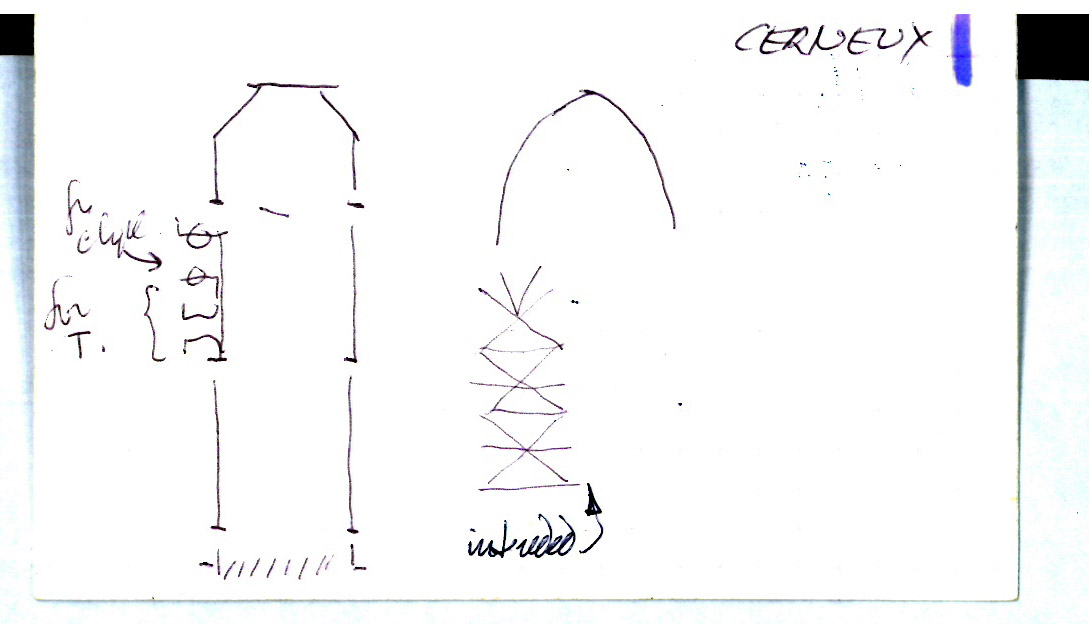
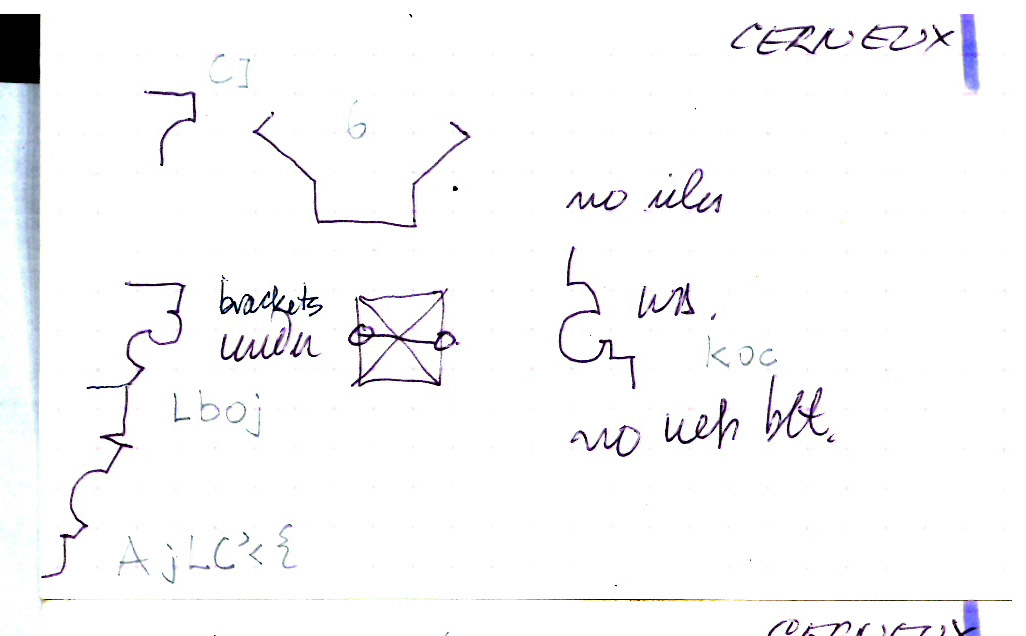
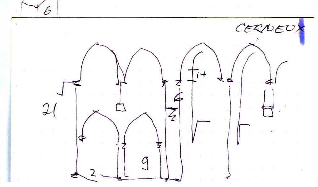
Notecards for Cerneux Saint-Brice


There are no Drawing results for this building.